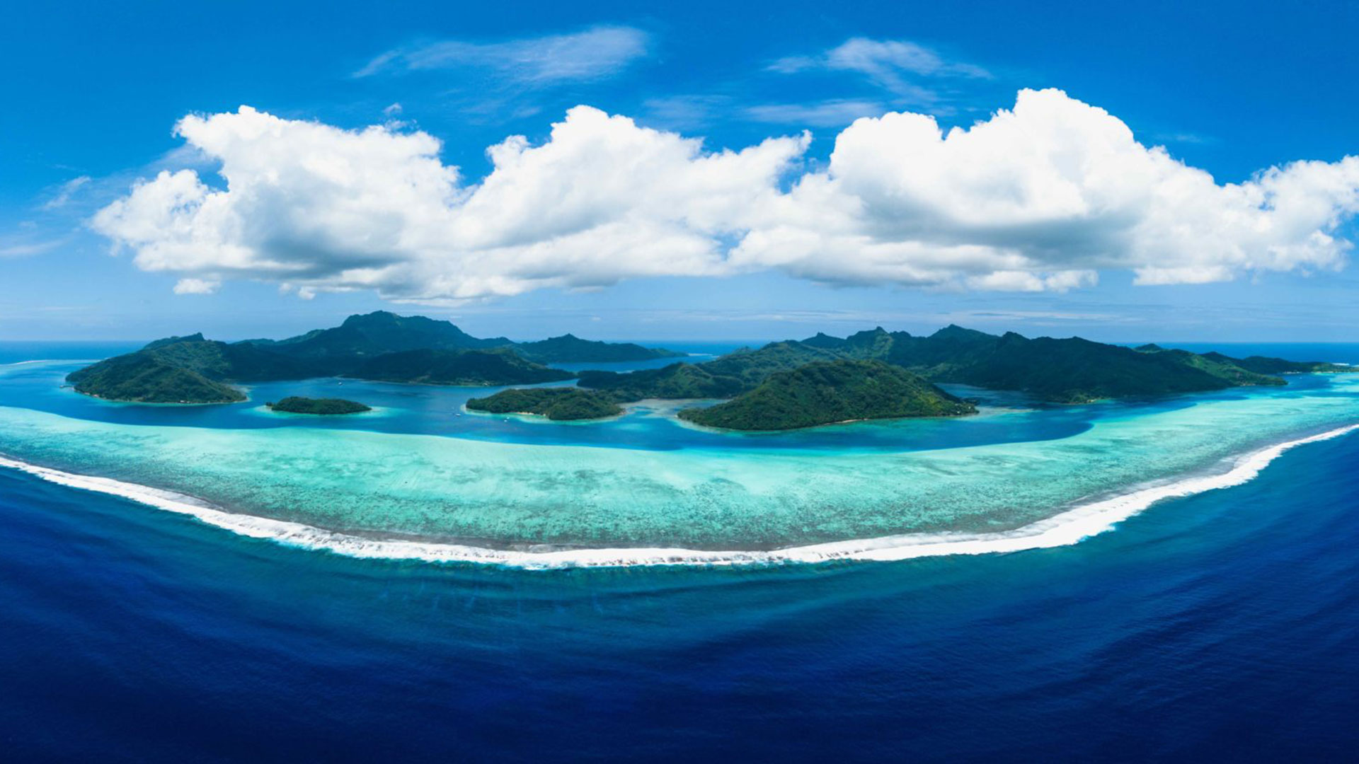
The vast expanse of the Pacific Ocean has been a source of wonder and mystery for centuries. Covering an area larger than all of Earth’s landmasses combined, the Pacific presents a unique challenge for navigation. Yet, for the people of Melanesia and Polynesia, the sea has been a part of their cultural and historical identity for thousands of years.
Through the ancient art of wayfinding, the people of the Pacific have not only settled every corner of the region but have also created a way of life connecting them deeply to their ancestral roots.
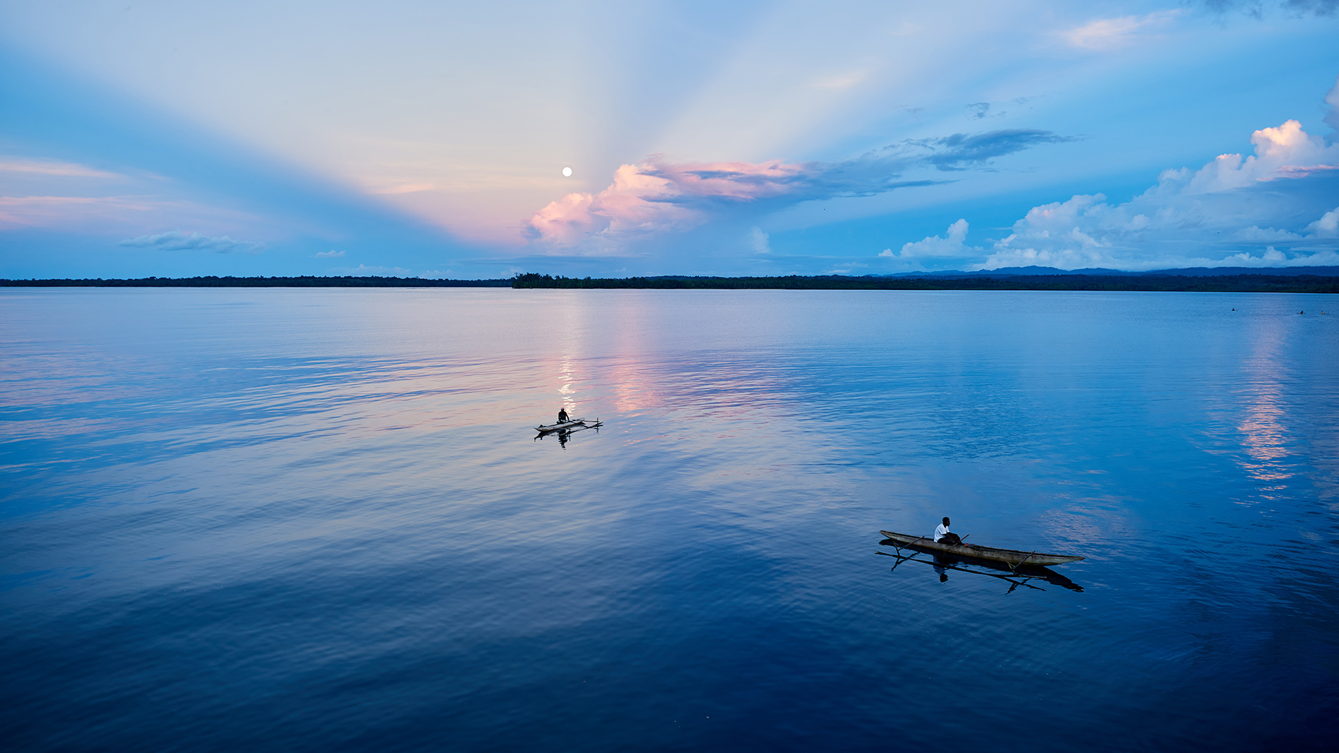
Wayfinding is a traditional method of navigating the open ocean without the aid of modern instruments like GPS or compasses. Instead, it relies on the use of natural cues, such as the stars, waves, and birds, as well as an intimate knowledge of the surrounding environment. Wayfinders, often referred to as “master navigators,” use their expertise to determine their position and direction at sea, enabling them to undertake long voyages between islands and across entire ocean basins.
The islands scattered along the north shore of New Guinea first drew these seafarers eastwards into the ocean. By 1500 B.C., these first voyagers continued moving east through Melanesia – first along the Solomon Island chain, then to the Vanuatu Archipelagos and Fiji. At this point of the Pacific, the gaps between islands widen greatly and the prevailing winds become less favorable for sailing to the east. Nonetheless, archaeological evidence indicates that the people sailed further eastward into Polynesia – to the Cook, Society, and Marquesas Groups – and from there crossed thousands of miles of open ocean to colonize the islands of Hawai’i in the north, Easter Island in the southeast, and New Zealand in the southwest.
By around 1000 AD, they had completed settlement of the area we know today as the Polynesian Triangle, some 2,000 miles east from their starting point in no more than a few hundred years.
Along the way, they developed a highly sophisticated navigation system based on observations of the stars, the ocean swells, the flight patterns of birds and other natural signs to find their way over the open ocean and “pull islands out of the sea.” Over the course of hundreds of years, they passed this down through oral tradition and shared knowledge.
Today, through that same oral tradition, there has been a revival of traditional navigation practices across the Pacific that has sparked global interest and admiration. Wayfinding techniques have been shared with the world and have influenced modern navigational methods. The resurgence has brought the traditional art of navigation to the forefront, with efforts to educate the younger generation about this ancient practice. The famous Polynesian Voyaging Society’s use of wayfinding led to the construction of the Hōkūleʻa, a double-hulled voyaging canoe that successfully completes long-distance voyages across the Pacific, spreading the cultural knowledge of the Pacific Islands.
The wayfinding skills of the Melanesian and Polynesian peoples have not only allowed them to navigate their way across the open ocean, but also serve as a strong metaphor for maintaining cultural identity, preserving traditions, and charting a course into the future. It’s what makes these Pacific Islands some of the most exciting destinations anywhere in the world to learn about cultural heritage and the power of human ingenuity.